Antwerp District | |
|---|---|
 | |
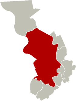
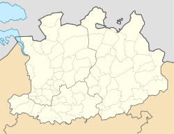
 Location of Antwerp District in Antwerp | |
| Coordinates: 51°13′14″N 4°23′59″E / 51.22056°N 4.39972°E | |
| Country | |
| Community | |
| Region | |
| Province | |
| Arrondissement | Antwerp |
| Municipality | Antwerp |
| Area | |
• Total | 87.3 km2 (33.7 sq mi) |
| Population (2023-01-01) | |
• Total | 198,784 |
| • Density | 2,300/km2 (5,900/sq mi) |
| Postal codes | 2000, 2018, 2020, 2030, 2050, 2060 |
| Area codes | 03 |
| Website | [1] |
Antwerp District coincided with the city of Antwerp until 1958. Since the municipality and contemporary city of Antwerp in the Flemish Region of Belgium was decentralized in 2000, this district level of government steadily increased its administrative powers.
It comprises 22 neighbourhoods:
- Antwerpen Noord (with Stuivenberg, Seefhoek, Amandus-Atheneum, Chinatown)
- Brederode
- Centraal Station (with Kievitwijk, Diamant, Statiekwartier, Joods Antwerpen)
- Den Dam
- Eilandje
- Haringrode
- Harmonie
- Historisch Centrum
- Kiel
- Linkeroever
- Luchtbal-Rozemaai-Schoonbroek (with Luchtbal, Rozemaai, Schoonbroek)
- Markgrave
- Meir
- Middelheim
- Schipperskwartier
- Sint-Andries
- Stadspark
- Tentoonstellingswijk
- Theaterbuurt, also called Quartier Latin
- Universiteitswijk
- Zurenborg
- Zuid, also called Zuid - Museum
References
[edit]Wikimedia Commons has media related to Antwerp (district).


