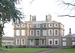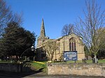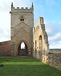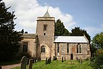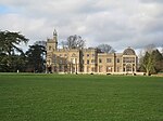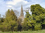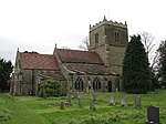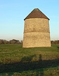
There are over 9,000 Grade I listed buildings in England. This page is a list of these buildings in the county of Nottinghamshire, by district.
Ashfield
[edit]| Name | Location | Type | Completed [note 1] | Date designated | Grid ref.[note 2] Geo-coordinates |
Entry number [note 3] | Image |
|---|---|---|---|---|---|---|---|
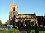
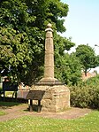
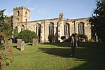
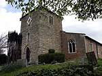
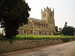
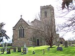
| Ruins of Church of All Saints | Annesley Park, Annesley | Parish Church | 12th century | 13 October 1966 | SK5034952363 53°03′58″N 1°15′00″W / 53.066144°N 1.250077°W |
1234999 |  |
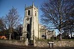
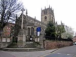
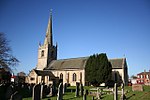
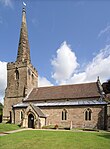
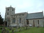
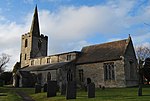
| Church of St Katharine | Teversal | Tower | 13th century | 12 October 1988 | SK4833961902 53°09′07″N 1°16′43″W / 53.152068°N 1.278638°W |
1234886 |  |
Bassetlaw
[edit]Broxtowe
[edit]City of Nottingham
[edit]Gedling
[edit]Mansfield
[edit]| Name | Location | Type | Completed [note 1] | Date designated | Grid ref.[note 2] Geo-coordinates |
Entry number [note 3] | Image |
|---|---|---|---|---|---|---|---|
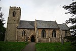
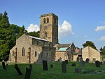
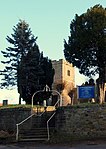
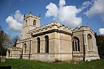
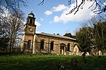
| Church of St Augustine | Sookholme, Warsop | Parish Church | Early 12th century | 29 July 1966 | SK5483466906 53°11′47″N 1°10′50″W / 53.196417°N 1.180671°W |
1262532 |  |
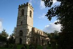
| Church of St Peter and St Paul | Church Warsop, Warsop | Church | 11th century | 29 July 1966 | SK5678568801 53°12′48″N 1°09′04″W / 53.213244°N 1.151135°W |
1240271 | 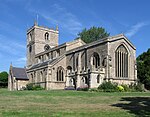 |
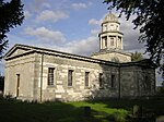
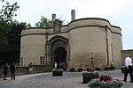
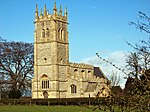
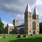
| Church of St Peter and St Paul | Mansfield | Church | c. 1300 | 19 December 1955 | SK5407861008 53°08′37″N 1°11′35″W / 53.143483°N 1.192981°W |
1214166 | 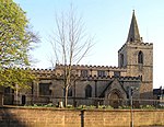 |
Newark and Sherwood
[edit]Rushcliffe
[edit]See also
[edit]Notes
[edit]- ^ a b c d e f g h The date given is the date used by Historic England as significant for the initial building or that of an important part in the structure's description.
- ^ a b c d e f g h Sometimes known as OSGB36, the grid reference is based on the British national grid reference system used by the Ordnance Survey.
- ^ a b c d e f g h The "List Entry Number" is a unique number assigned to each listed building and scheduled monument by Historic England.
References
[edit]National Heritage List for England
External links
[edit]![]() Media related to Grade I listed buildings in Nottinghamshire at Wikimedia Commons
Media related to Grade I listed buildings in Nottinghamshire at Wikimedia Commons

