Xiulin Township
秀林鄉 Sioulin | |
|---|---|
 Buluowan in Taroko National Park | |
 | |
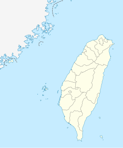
| Coordinates: 24°13′00″N 121°32′00″E / 24.21667°N 121.53333°E | |
| Country | Taiwan |
| Region | Eastern Taiwan |
| Government | |
| • Type | Township |
| Area | |
• Total | 1,641.8555 km2 (633.9240 sq mi) |
| Population (February 2023) | |
• Total | 17,068 |
| • Density | 9.201/km2 (23.83/sq mi) |
| Time zone | UTC+8 (CST) |
| Post code | 972 |
| Subdivision | 9 villages, 128 neighborhoods |
| Website | www.shlin.gov.tw |

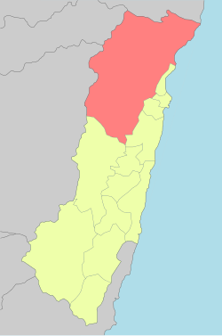
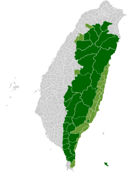
Xiulin Township / Sioulin Township[1][2][3][4] (Chinese: 秀林鄉; Hanyu Pinyin: Xiùlín Xiāng; Tongyong Pinyin: Siòulín Siang) is a mountain indigenous township of Hualien County, Taiwan. It is located northwest of Hualien City, and is the largest township in Taiwan by area (1,641.86 km²) with 9 villages. It has a population of 17,068, most of which are the indigenous Taroko people.[5][6]
Because of its location beside the Central Mountain Range, the climate changes by altitude. Taroko National Park is located in Xiulin Township. In recent years, people in Xiulin have lobbied to change its name to "Taroko Township" (太魯閣鄉).
The second deadliest train disaster in Taiwan's history happened here in 2021.
Administrative divisions
[edit]

The township comprises nine villages: Chongde, Fushi, Heping, Jiamin, Jingmei, Shuiyuan, Tongmen, Wenlan and Xiulin.
Tourist attractions
[edit]- Taroko National Park
- Qingshui Cliff
- Sanchan Creek Scenic Area
- Mukumugi ecological Trail and preserve area
- Kilai Mountain (3607 m)
- Dayu Mountain (2565 m)
- Hehuanshan (3416 m)
- Pingfeng Mountain
- Xiangde Temple
- Shimen Mountain
- Wuming Mountain
Infrastructure
[edit]Transportation
[edit]- TRA Heping Station, Heren Station, Jingmei Station, Chongde Station (North-link line)
- Provincial Highway 8 (Central Cross-Island Highway)
- Provincial Highway 9 (Suhua Highway)
- Heping Cement Port
References
[edit]- ^ "About". Siou Lin township. Retrieved September 21, 2020.
Sioulin Township has a population of more than 15,000; eighty-five percent of them are very simple and honest Truku people.
- ^ 1.7-鄉鎮市區戶口數 [Population for Township and District]. Ministry of the Interior. August 2020. Retrieved 21 September 2020.
秀林鄉 Sioulin Township 1,641.8555 4,926 15,954 8,181 7,773 105.25 3.24 10
- ^ Wang Chin-yi and Jake Chung (2 August 2020). "Hunter certificates issued to 294 Aborigines in Hualien". Retrieved 21 September 2020.
Sioulin Township's (秀林) Truku People's Hunting Association yesterday awarded 294 hunter certificates to Aborigines of Hualien County, a first step toward self-managed hunting by local Aboriginal villages.
- ^ Mu Xuequan. "6.7-magnitude quake hits Taiwan, injuring at least 17 people". Xinhua News Agency. Archived from the original on 19 April 2019.
The quake caused landslide near the epicenter in Sioulin township in Hualien.
- ^ "Taiwan Today - Solar power lights up remote Hualien village". Archived from the original on 2015-07-22. Retrieved 2015-07-18.
- ^ "Ma supports reducing nuclear power".


